
Barberton Public Block Sources
For a Barberton block, the public record begins with adjacent Barberton parcels and selected recorded owners. It does not produce a private household list. The Summit map and property systems describe Barberton land, parcel identity, tax relationships, and selected reports. Recorder instruments add the chain of recorded interests and plat context. Barberton City and county project records can explain work at an address. Historical street listings can show a printed name for the edition year. Every source has a different date and a different limit.
| Source | What it shows about a block | Access and limit |
|---|---|---|
| Summit County GIS Viewer | Parcel geometry, adjacent lots, site address, owner-name search route, and tax-map context | Map and spatial-query tools select geography, not a list of private households. |
| Property Public Access | Selected parcel’s owner and property or tax reports | Individual parcel search; owner or mailing field does not identify every occupant. |
| Recorder instruments | Recorded owners, conveyance references, plats, and legal-description links | CAPTCHA and disclaimer gate; inspect an image or counter copy before concluding a transfer. |
| Building and code records | Address-specific project, inspection, enforcement, or planning trail | City or County custody depends on record date and function. |
| Historical street directory | A printed listing, street orientation, and address for one edition | Historical source only, not a statement about today’s Barberton block. |
| Ohio voter tool | An individual registration and precinct route | Not a block browser; protected information stays unavailable. |
The key word is selected. A Barberton map view may show several neighboring parcels, but each property record should be opened only when the block question calls for it. A person listed as owner might be an entity, trustee, estate, or tax-notice recipient. That is why the careful Barberton description is “adjacent parcels and recorded owners,” rather than a claim about everyone living near a Barberton address.
Barberton GIS Parcel Method
The Summit County GIS Viewer gives the most direct geographic starting point for a Barberton block. Its search prompt accepts a parcel number, owner name, or street address. After a known Barberton parcel is selected, zoom to the immediate surrounding boundaries and inspect the parcels that abut or face it. The viewer offers imagery, street, and topographic basemaps, along with layers, a legend, opacity controls, drawing tools, and linear or area measurement. These features describe the map, not the people connected to it.
For a defined Barberton area, the viewer’s parcel spatial query can use a rectangle, circle, or polygon. It does not document a named radius-neighbor command. Describe the activity as a geographic selection, then carry the selected Parcel ID to Summit Property Public Access. The Property Public Access Record Navigator can move through a defined result set and return to the original results. That local navigation feature is useful for reviewing the right Barberton parcels without repeatedly rebuilding the search.
Barberton Property Card Clues
Carry one Barberton parcel at a time to Summit Property Public Access. The official guide documents parcel, owner, address, route, and ZIP labels, plus a Summary Page with a Property Record Card, attribute report, tax bill, and Neighborhood Sales report. A seven-digit Barberton parcel number, an exact situs address, and the legal description are stronger anchors than a casual street reference. Preserve the tax year as well, because the system’s selected assessment year affects the record context.
Three address concepts need to stay separate on a Barberton block. The situs address is the physical location of Barberton land. The mailing address is where a tax notice goes. The legal description is the land identity used in the Summit Recorder and tax-map system. A different mailing address does not show that a named person is absent or present at the parcel. It only means the record has a different notice address.
- Parcel number
- The Fiscal Office’s property-system identifier. It is the best bridge from a mapped lot to the individual property record.
- Situs address
- The physical location of the parcel. It helps route a property, map, permit, or planning question.
- Legal description
- The lot, subdivision, or other recorded land identity that ties an address to a deed or plat when street wording changes.
Map a Barberton Block
The adjacent-parcel method stays focused on public Barberton land records. It starts from one verified Barberton address, uses the GIS map to establish the block geometry, and returns to individual records only when there is a clear reason. A map edge, a common street name, or a nearby mailing address should not be treated as proof that two people are connected. The sequence keeps the claim tied to the actual Barberton parcel.
- Search the known Barberton address, parcel number, or owner name in the GIS Viewer and select the parcel that matches the situs and map location.
- Zoom to the immediate abutting or facing parcels. Use the parcel spatial-query drawing tools only to define a geographic selection when the map needs it.
- Write down each selected Parcel ID, then use Property Public Access to view the individual parcel’s property or tax relationship and reports.
- When a deed, plat, or prior recorded interest matters, compare the legal description in Recorder Self Service or at the Recorder counter before describing the land relationship.
For a longer chain along a named road, the Barberton street directory follows the address and deed route in more detail. The block method here is intentionally narrower: it explains the immediate parcels around one address without turning them into a roster of private households.
Barberton Voter Search Limits
Ohio’s individual voter search requires a first name, last name, and county. A street name can appear only after the system needs help narrowing that individual search. That design makes the tool a confirmation and precinct route, not a way to browse a Barberton block by street. The statewide daily-snapshot data channel and county report tools also carry access conditions, retention limits, and protections that apply to the selected Barberton record.
Ohio voter law distinguishes public fields from confidential information. Safe at Home participants and other protected Barberton records must not be exposed or reverse-engineered. Voting choices are never an inference to draw from a registration or report label. For a person’s own Barberton registration issue, use the official tool or the Summit Board of Elections. For an existing-record request, name the date, county, and permitted information sought.
Note: A precinct is an election geography, while a parcel boundary identifies land, so neither one automatically describes a private household or a social connection.
Barberton Project Record Routes
Project records can put a change at a Barberton address into context. Barberton’s historic Building Department routes include permits, inspections, zoning, and code enforcement. For current state-code functions, the City and County announcement says Summit County Building Standards became the issuer and inspector for Barberton projects on August 1, 2026, with active and open Barberton City permits moved to the County. Name the Barberton project address, permit number if known, record type, and approximate date before asking which custodian has the file.
The County Building Standards source identifies the current routing point for newer Barberton building-standard records.
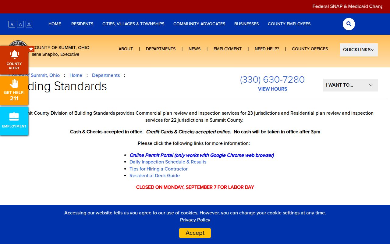
The current office route matters because an older City record and a newer County record can involve the same Barberton address but different custodians.
For legacy Barberton City code files, the Code Case Search offers case number, case date, parcel address, and description as documented search choices. Its results list case number, date, status, description, and view controls. The research did not verify an online coverage range, so use it as a Barberton address-specific lead and ask the custodian for the defined public record when the portal does not answer the question. The City public-records policy is the fallback for an existing City-held permit, inspection, code, planning, or work-order record.
The legacy code case source illustrates the address-led search route.
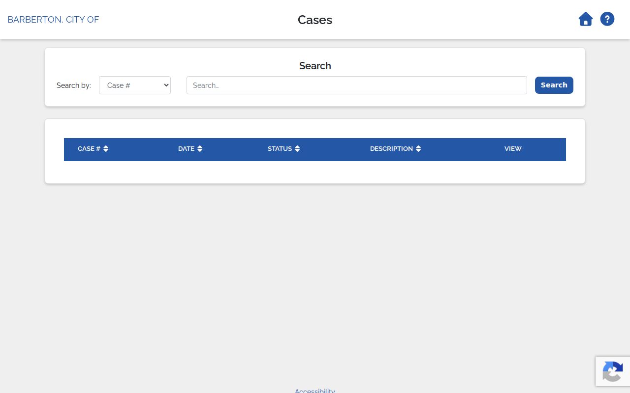
A code case can show a public project or enforcement trail. It does not establish an occupancy history or create a private household list.
Barberton Community Contact Routes
Barberton does not publish one comprehensive neighborhood-association or HOA member directory. The reliable Barberton community layer is a set of public contacts: City Council ward contacts, Planning and Community Development, library programs and local history, civic organizations that publish their own public contacts, and business listings. These Barberton channels can help with a public project, a historical question, or an organization’s stated activity. They do not establish who belongs to a private group or who lives on a particular block.
| City Council and staff directory | Official ward, department, and city contact route; it is not a neighborhood resident list. |
|---|---|
| Planning and Community Development | Public zoning, site-plan, and plat proceeding contact route for an address or project. |
| Barberton Public Library | Local-history and program contact route, including historical collections and obituary research. |
| Barberton business directory | City-hosted public commercial listing; it is not a Barberton neighbor source. |
| Avance Neighborhood Alliance | Public community and block-watch contact page within its stated service scope; no member roster is implied. |
The City business-directory source is useful for distinguishing public commercial contacts from nearby private households.
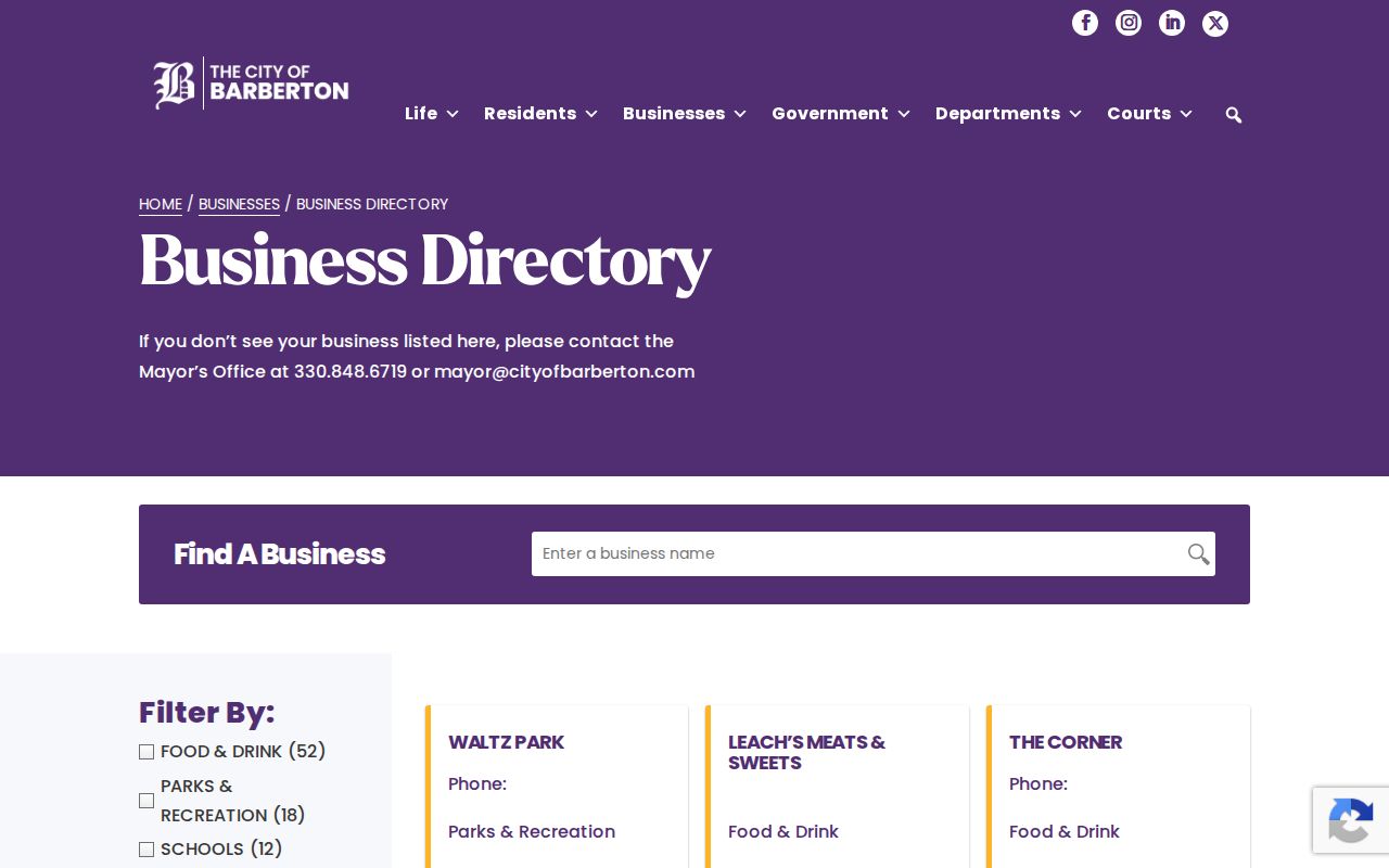
The business listing belongs in the community-contact layer only. It should not be used to make a residence claim about a Barberton neighbor.
The Avance Neighborhood Alliance source is a public contact route for its stated community activity.
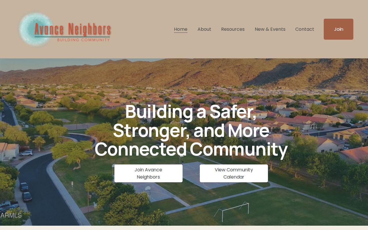
A public organization page can describe the organization’s work and contact path. It does not publish a verified roster of Barberton residents or members.
Barberton Historic Street Listings
Historical Barberton street sources describe the Barberton block at the date printed. The digitized 1939-40 Burch volume has a separately headed Barberton city section, street section, and alphabetical-name section. Its street listings can show orientation, sides, house numbers, person or business names, and occasional telephone information. Read the abbreviation key in the actual Barberton edition instead of assuming a mark means owner or occupant. A historic listing is evidence for that volume’s date, not a claim about present private households.
Barberton place names also change the search. Johnson’s Corners was annexed from Norton Township in 1929, and New Portage is another older Barberton-area geographic label. Preserve the Barberton address, directional wording, period place name, and year exactly as printed. This makes it easier to compare a directory entry with the present parcel and legal description without silently rewriting its history.
Barberton Block Source Comparison
Official records and commercial neighbor tools answer different questions. The official Barberton route shows the artifact that supports a claim, such as a parcel boundary, recorded instrument, dated directory entry, or public project file. Commercial tools often merge public and commercial information that may be stale or combine people with similar names. For a Barberton block question, a transparent Barberton source chain is more useful than an unexplained list.
| Official Barberton and Summit records | Show a particular parcel, recorded document, dated historical entry, or public project record with a named custodian and a clear limit. |
|---|---|
| Commercial neighbor category | May combine data from many sources, yet can be stale, incomplete, or attached to the wrong same-name person. |
| Careful conclusion | State the artifact and date, confirm it at the source, and do not convert ownership or a map result into a claim about household membership. |
Barberton Block Privacy Boundaries
Some information about a Barberton block is not public through Barberton parcel, map, or directory records. Private household members, utility accounts, delivery data, driver-address data, and protected addresses do not become public because a nearby Barberton parcel is visible. Ohio Safe at Home protects a qualifying participant’s substitute-address use, and confidential voter, court, juvenile, adoption, and sealed-record limits remain in force. A missing address, a redaction, or an incomplete map result should be left alone.
The Recorder’s redaction practice provides a local example of this boundary. Its index may help locate a document reference, but online images can redact personal information. For an inaccurate government record, contact the responsible custodian. Use public information for lawful personal research, property curiosity, family history, and civic questions, while keeping the record’s date and purpose clear.
Lawful use. Do not use a Barberton neighbor record, map result, address, or organization contact to watch, stalk, harass, intimidate, or harm anyone.
Note: Ohio laws on menacing by stalking and specified harassing communications still apply when information came from a public source.